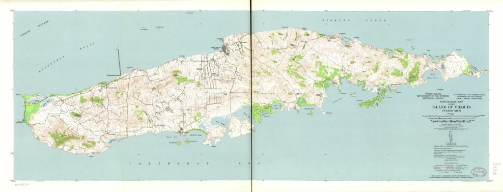
There are many interesting maps of Vieques around (aside from the Vieques Beach Map). Historical maps are most interesting to me, so I thought I’d throw one of the most famous ones up here for your enjoyment. This copy of the USGS map from the 1940s (Revised in 1951) is a classic and very popular among all friends of Vieques.
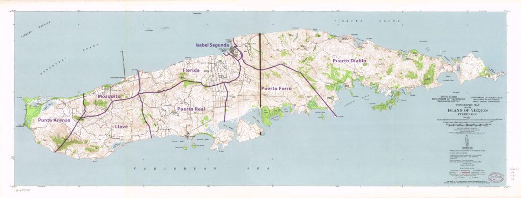
This next one is from the same source image but someone has overlaid the barrios, the neighborhoods, onto the map. Most of these remain the same names today.
This next one is from the USFWS, dated October of 2020, and is their stated plan for opening many, additional beaches (I count 17 of them) to the public. There is still much work needed to make this a reality, because when it was called the Vieques Naval Training Range (VNTR) these parts of the island were literally bombed for decades with tens of thousands of rounds of explosives.
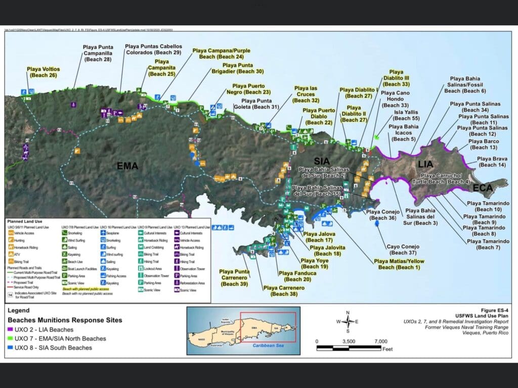
Note that LIA stands for Live Impact Area – a full-on bombing range with live explosive munitions. The big concern in these areas are UXO (Unexploded Ordnance) that must be found and destroyed for the obvious reason of everyone’s safety. SIA is Surface Impact Area, which is smaller munitions and shells, and inert bombs. EMA is the Eastern Maneuver Area, where training was done, including small arms fire and artillery and tank fire.
This map is worth taking a look at, but keep in mind that no schedule is given so it could be many years for any of this to come to fruition. Fingers crossed, because there is some beautiful landscape and gorgeous beaches there, currently inaccessible to the public.
We’ll keep looking for more of these public documents and maps – if you find good ones, please feel free to send them along to us.